
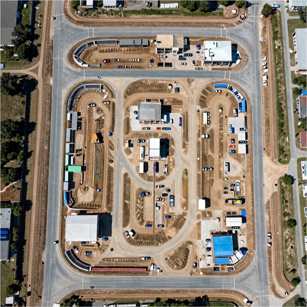
Description
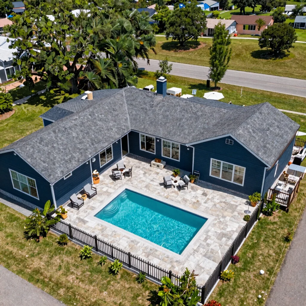
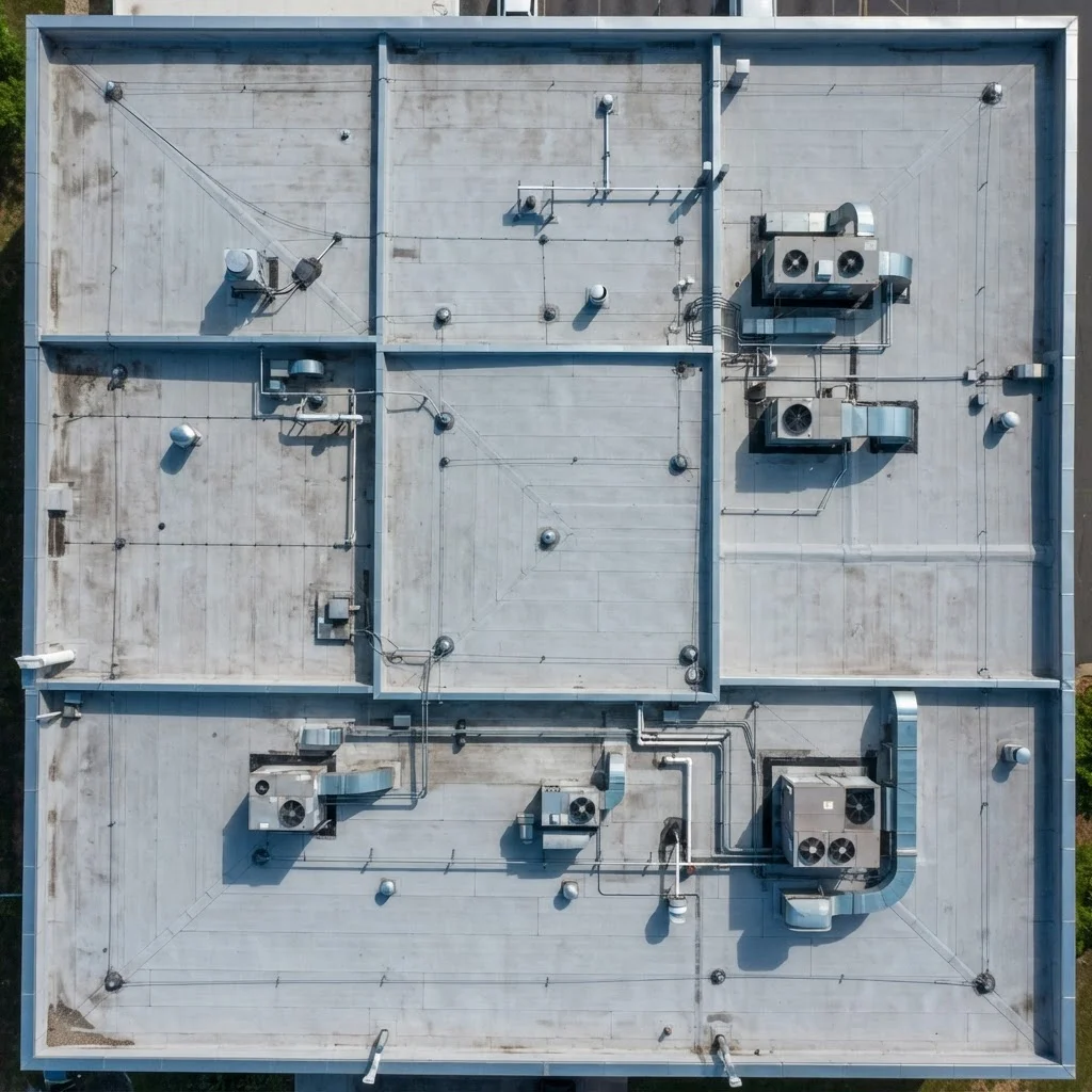
Book a planned drone capture over a defined site for aerial mapping and photogrammetry processing, with flight coverage tailored to the agreed area and ground conditions. Choose this session for site documentation or planning reference imagery; it is not a boundary or land survey.
Reviews
There are no reviews yet.