Aerial Mapping Starter

$950.00

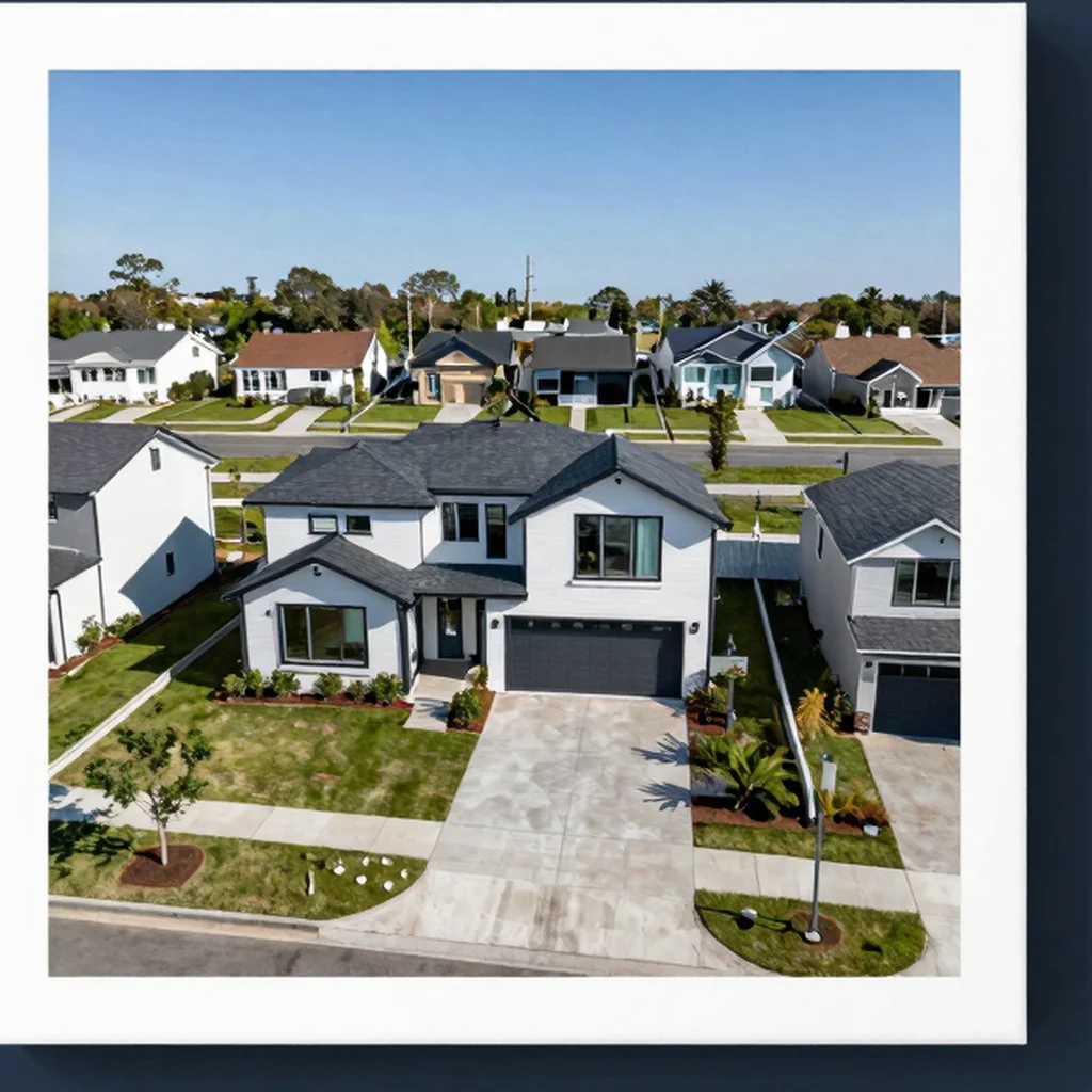
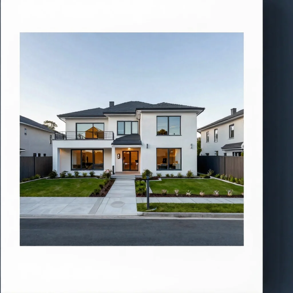
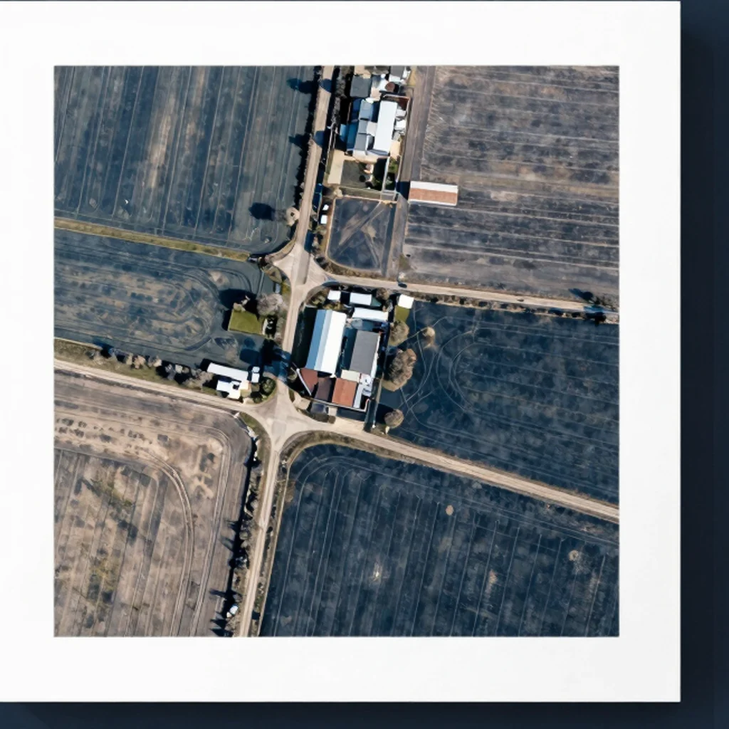
A mapping package for a site up to five acres, including a georeferenced orthomosaic and a basic 3D surface model. Intended for visual planning and progress reference, not survey-grade measurements or legal boundary work; site suitability is confirmed before booking.

SKU: aerial-mapping-starter-9
Category: , ,

Description

A mapping package for a site up to five acres, including a georeferenced orthomosaic and a basic 3D surface model. Intended for visual planning and progress reference, not survey-grade measurements or legal boundary work; site suitability is confirmed before booking.

Reviews

There are no reviews yet.

Be the first to review “Aerial Mapping Starter”

Your email address will not be published. Required fields are marked *

Related products